
Will La Nina come hard on the heels of El Nino?
Category: Uncategorized
 (Agrimoney) – This season’s El Nino effect, which has proved largely benign for agriculture so far, is expected to peak over the northern hemisphere winter.
But investors should keep a weather eye on the Pacific in the coming spring, to watch for a cooling pattern that could trigger droughts across key grain growing areas of the New World.
La Nina – “the girl” in Spanish – is a weather pattern caused by a dip in central and eastern Pacific temperatures, just as El Nino -“the boy” – is applied to a high temperature ocean pattern.
El Nino vs La Nina
El Nino is associated with higher rainfall in the Americas overall, but dryness in the western Pacific and the west coast of Africa.
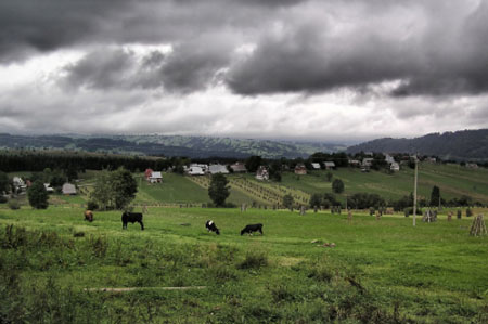
It also tends to bring cooler summers to the US, a boon, for example, to corn yield prospects – as seen indeed this year and in 2014 – with heat a setback to pollination, which occurs mainly in July.
But La Nina is broadly associated with the opposite weather effects, causing lower rainfall in the eastern Pacific, and higher rainfall in the western Pacific – and that can bring less favourable conditions to some major grain growing areas.
The drought year of 2012, when the US corn yield fell to a 17-year low of 123.4 bushels per acre, was an El Nino period.
As was 2008-09, when drought sent Argentine soybean production slumping by 30%.
Winter peak
The El Nino signal, as measured by ocean surface temperatures in the mid-Pacific, is expected to peak in
This week the Australian Bureau of Meteorology said that the El Nino effect was expected to last into 2016, and was continuing to strengthen.December or January, and some models expect it to be one of the strongest on record.
And La Ninas have a history of following hard on the heels of El Ninos, as ocean surface temperatures trend cooler.
Hotter, dryer weather
US weather service Commodity Weather Group (CWG) noted that of the eight strong El Nino cases since 1950, the three strongest all transitioned rapidly to a La Nina summer, and the remainder were a split between neutral and La Nina summers.
In 1988, for example, El Nino winters was followed by a La Nina summer, which triggered widespread droughts in the US.
“It raises the odds of a hotter and drier summer,” CWG president Matt Rogers told Agrimoney.com.
Any sign of a developing La Nina signal could bring bullish weather risk onto grain markets.
“El Nino retreats will be key item to monitor in coming months—especially if rapid transition to La Nina occurs,” said Richard Feltes, of Chicago broker RJ O’Brien.
Watch out for March
So as the El Nino winter comes to an end, spring ocean temperatures will be key to judging the risk of a strong La Nina, with the associated dry weather.
“If we are going to see this rapid transition it would be in March or April,” said Mr Rogers.
“If it’s not showing that tendency we would start to see a more uncertain scenario.”
But Mr Rogers points out that the effect on US weather is not always observed, for example it was not present after the 1997-98 El Nino event, which was one of the strongest on record.
“We didn’t see a transition to a hot dry summer,” said Mr Rogers.
Monsoon boost
La Nina could also have effects in Asia, said Mr Rogers.
“In general it supports better rains across areas like India,” he said, adding that China would also be likely to see wetter weather.
Although Mr Rogers noted that the El Nino signal has yet to reach the strength seen in the most pronounced years, “most of the models do still support us getting there”.
“[The El Nino signal] weakened somewhat at the earlier part of this month,” he said, “but we saw it strengthen again this week”.
So it looks like ocean temperatures will be making headlines for another six months at least.