
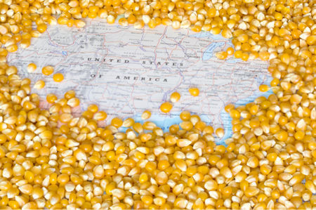
 (Ag Professional) – The planting and emergence of the 2017 U.S. corn crop is right on schedule, but the weather might continue to present some unique challenges as May begins.
The U.S. Department of Agriculture on Monday placed corn plantings at 34 percent complete by April 30, identical to the five-year average but below last year’s 43 percent. Emergence stood at 9 percent, compared with an average of 8 percent, and 12 percent one year ago.
Even though the progress pace lines up with recent averages, an “on-time” crop can feel late, especially this year given the economic battle with soybeans, corn’s key competitor. If planting pace is quick, the market has much more confidence that corn acres are unlikely to fall from intentions.
But an average pace introduces more uncertainties over both planting and emergence, particularly if the weather forecasts are not entirely promising.
May is a critically important month for the planting and development of the United States’ top grain crop. On average over the last five years, some 36 percent of the corn is planted by May 1, and that climbs to 94 percent by May 31.
Emergence is just as prominent during this period. About 10 percent of the crop is emerged by May 1, and by May 31 it has reached 79 percent. The first condition scores are usually issued by the end of May, and crops that are lagging in emergence at that time do not typically receive high ratings.
Through April 30, states in the Eastern Corn Belt – including Illinois, Indiana and Ohio – were well ahead of average pace on planting and slightly ahead on emergence. However, some of the Upper Midwestern and Plains states – such as Iowa, Minnesota and the Dakotas – have gotten a slower start due to cold, wet weather.
Forecast Shift
The U.S. Climate Prediction Center issued its updated May weather outlook on April 30 after having released the initial forecast on April 20, and the updated temperature outlook was distinctly different from the original.
The initial forecast suggested average temperatures west of the Mississippi River and warmer temperatures to the east. But the new forecast calls for cooler-than-normal conditions to dominate almost the entire Corn Belt.
Both forecasts also reflected a dry bias over this same general region, but the initial forecast had the dryness focused mostly on the Great Lakes region, while the updated forecast shows the center of the dry spot over Iowa and Missouri.
Ideally, a farmer would want to plant into neutral soil conditions and then enjoy a warm May with intermittent rain showers in order to get the crop out of the ground on time and in good condition while preserving moisture in the soil.
But nearly the entire corn production region – save the Dakotas and Nebraska – will likely grapple with unseasonably cool temperatures through at least the first half of May. Indiana and Ohio will receive the worst of it, as temperatures will run 10 to 20 degrees Fahrenheit below normal for at least the next ten days.
The widespread cooler weather will certainly slow emergence and development over the next week or so, but add in the recent and expected rainfall, and the situation becomes even dicier.
Wet and Dry
Last weekend’s heavy storm system dumped rainfall totals ranging from 3 inches to 9 inches (76 to 229 mm) primarily across Missouri, Illinois and Indiana. These areas were somewhat dry to begin with, so the overall losses are unlikely to be extreme. But there is more on the way.
The latest forecast from the U.S. government-run Weather Prediction Center calls for as much as 4 inches (102 mm) to accumulate through this Saturday in the same areas, which if realized, could raise some serious concerns for the region where things had been going relatively well.
Wetter soils slow their warming, which is needed for proper development. If the soil cannot warm up and dry out to let in oxygen, root development typically ends up shallower than normal. This reduces the plant’s ability to access water and nutrients during the drier months of the growing season.
Additionally, the excessive rainfall over such a short period often drowns out parts of the field and washes away the nitrogen application, meaning that farmers may have to reapply the nitrogen and patch in parts of the field with extra seed, raising their costs even further.
On the other hand, a dry window will finally open up across the Upper Midwest, where saturated soils have significantly slowed planting efforts. Rainfall is unlikely through Monday in highly productive areas such as northern Iowa and southern Minnesota, which should give growers there a chance to make up for lost time.
But even the wet areas need to be on alert moving forward, as these are the same regions in which CPC called for drier May weather. Even though moisture is at a surplus now, a significant dryout into the summer months can result in greater yield penalties when the crop starts out under wet conditions rather than dry ones.